For engineers, geospatial professionals, and infrastructure owner-operators to benefit from reality models and 4D digital twins, they must be accurate, versatile, manageable, and embedded to best address project needs. 4D surveying facilitated by Bentley’s Orbit solutions helps users manage, extract, and share vast amounts of imagery, point cloud, and 3D mapping data to get the best performance from reality modeling and digital twins.
iTwin Capture Manage
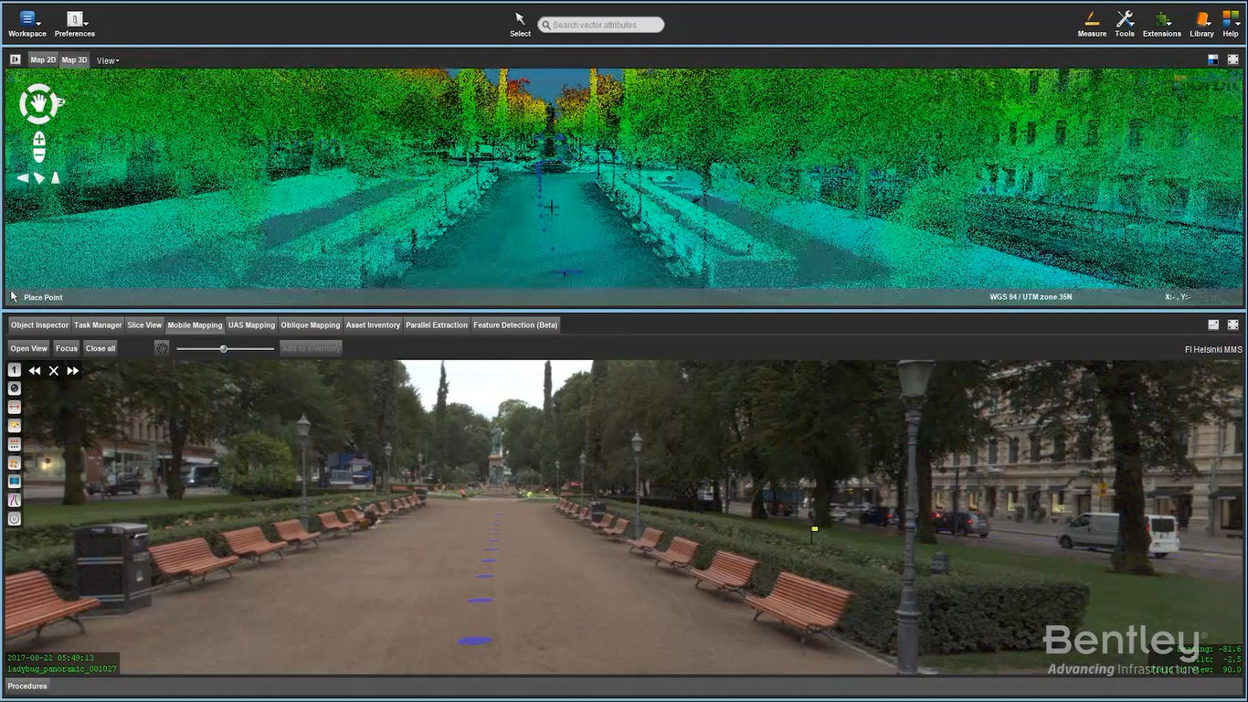
Orbit 3DM™ Content Manager enables users to access, update, and manage massive amounts of scanned data, imagery, 3D vectors, meshes, and 2D GIS/CAD data. You can ensure the accuracy and detail of your aboveground or belowground 3D city models with data acquired from street-level mobile, oblique, UAS, aerial, terrestrial, and indoor mapping. With templates tuned to each vehicle setup, Orbit 3DM Content Manager simplifies importing your 3D mapping data and saves you time when exporting views or creating accurate reports. Hardware-neutral, Orbit gives users the full 3D 360° view of the world by enabling real-time fusion of image data collection of any size from any system.
iTwin Capture Extract
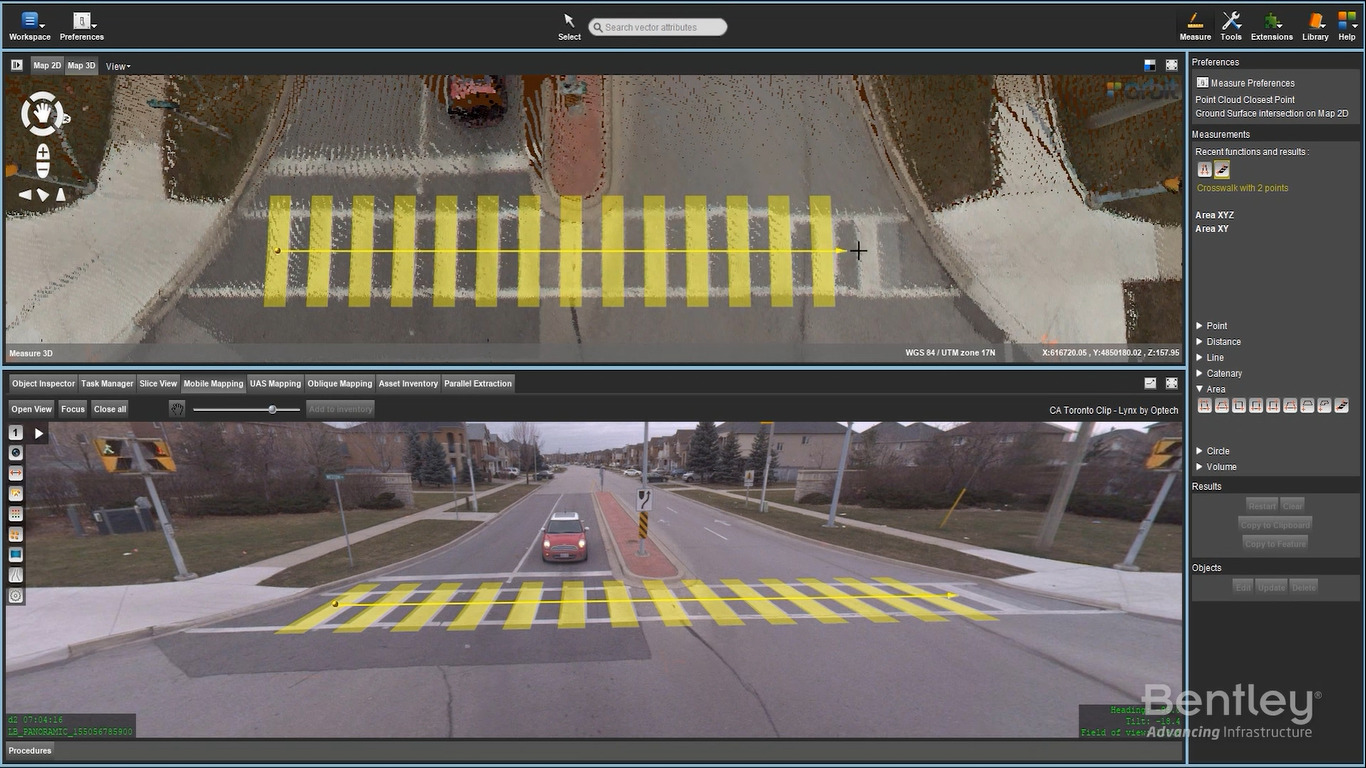
iTwin Capture Extract allows you to quickly and efficiently navigate through all types and sizes of 3D mapping data in a full 3D view. iTwin Capture Extract supports all known mobile, UAS, aerial oblique, indoor, and terrestrial mapping hardware systems, translating different device setups and specifications into a single user-friendly environment. With templates tuned to each vehicle setup, iTwin Capture Extract makes importing your mapping data simple and saves you time when exporting views or creating accurate reports.
iTwin Capture Manage & Extract
Import data of any size from any mapping system
Navigate mapping data in full 2D or 3D view
Display point cloud, mesh, and vector data in full 3D View
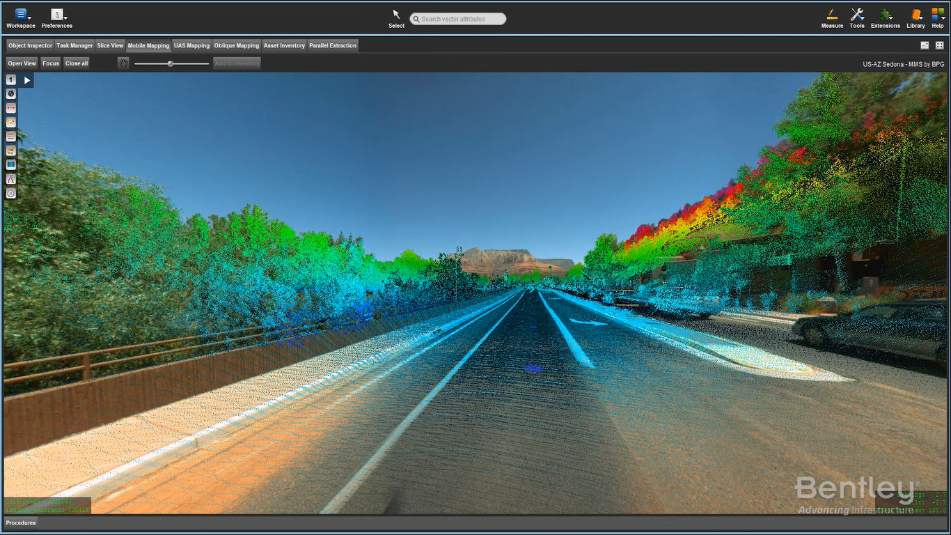
Display Spherical images
Display Oblique or Nadir images
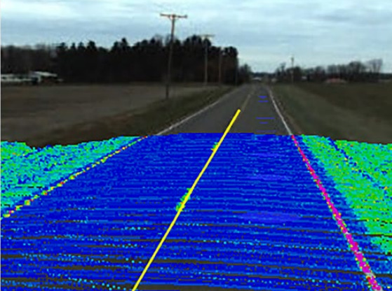
Overlay vector data and point cloud on imagery
Show footprints on reference view
Create 3D fly-through movies Slice horizontally and vertically
Set skyline backdrops in 3D View
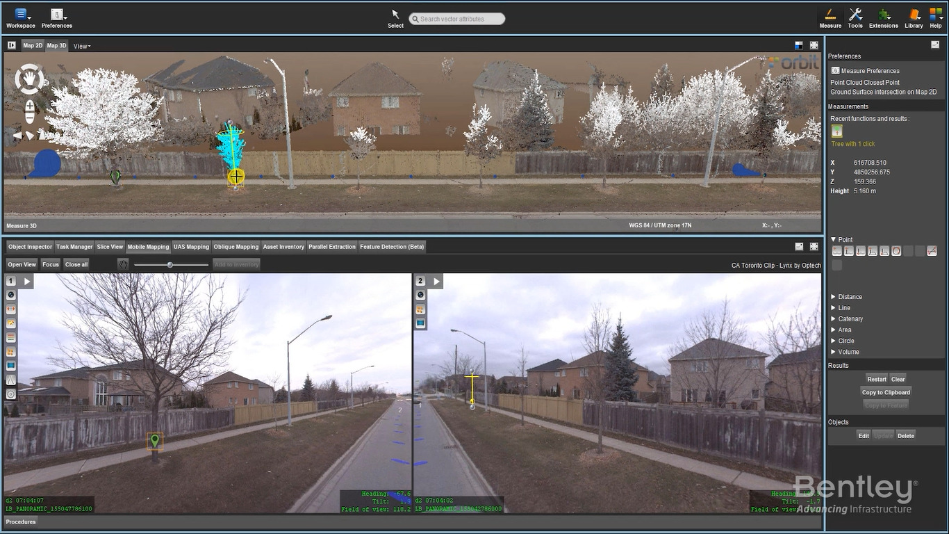
Measure points, lines, areas and simple volumes
Measurements by point cloud, mesh, dem, reference planes, and forward intersection
Automatically recognize points, surfaces, ridges, and corners
Catalog, correct, consolidate, merge, and archive mapping data
Load ground control points and measure constraints
Analyze and correct positional accuracy of mapping data